Suburb Profiles
Overview
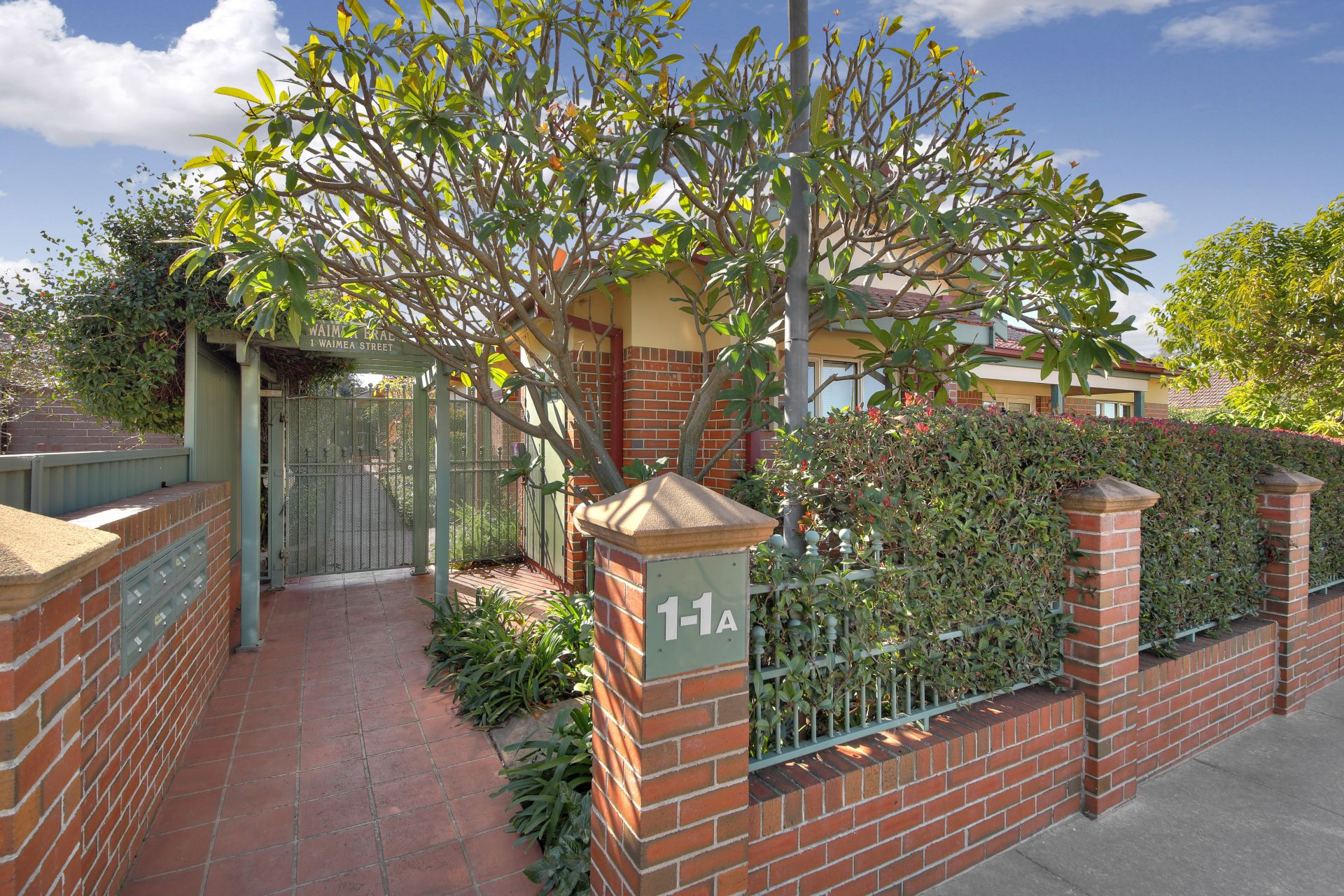
Burwood is a suburb in the inner-west of Sydney. Burwood is located 12 kilometres west of the Sydney central business district and is the administrative centre for the local government area of Burwood Council. Burwood Heights is a separate suburb to the south. The Appian Way is a street in Burwood, known for its architecturally designed Federation-style homes. Burwood features many fine examples of architecture from the Victorian and Federation styles. St Paul’s Anglican Church on Burwood Road was designed by colonial architect Edmund Blacket and built in 1871. Nearby Woodstock in Church St was built in the early 1870s by tobacco manufacturer Edwin Penfold. In the 1940s, it was taken over by the army, later becoming a migrant hostel, before being bought by the council in 1974 for use as a community centre.
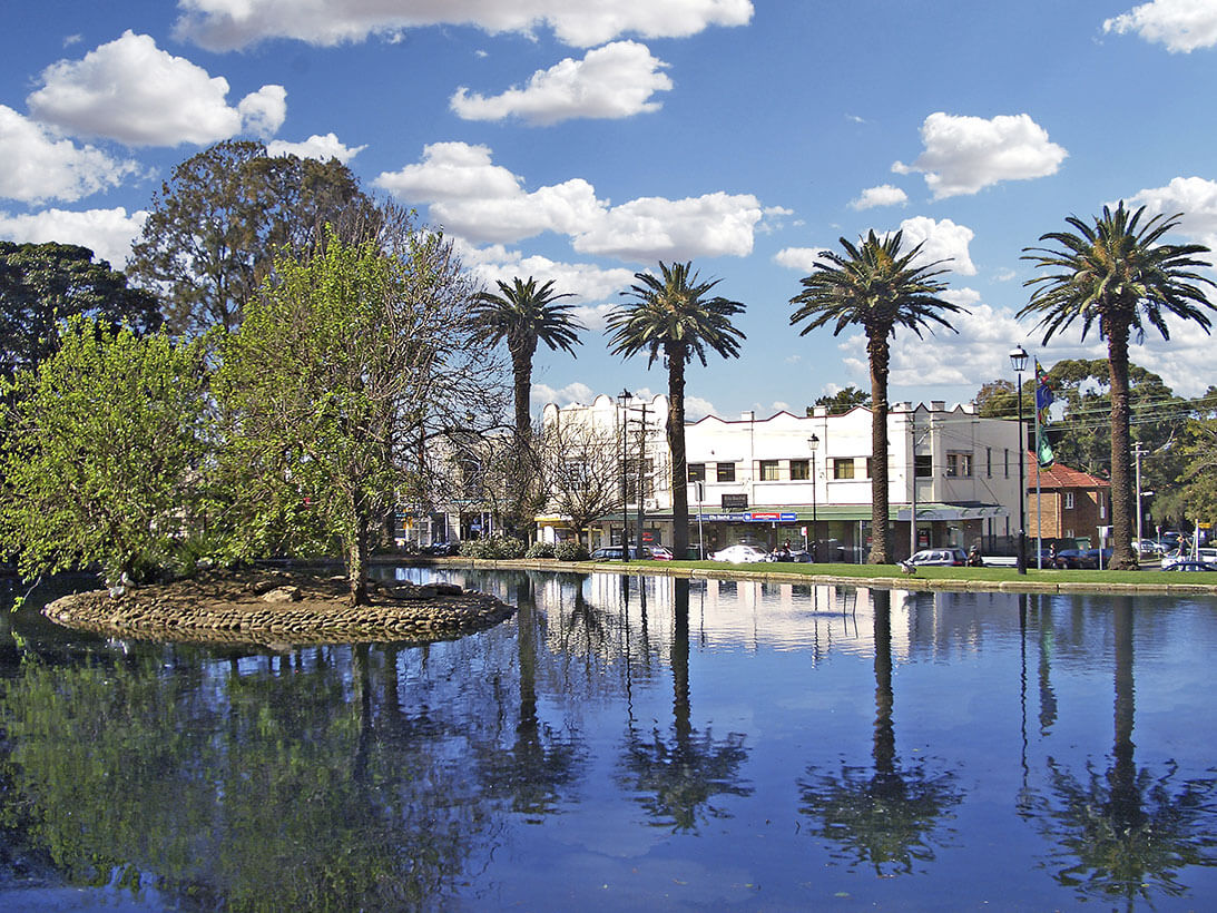
Burwood Park was established by the local council in 1882 on land formerly known as Edrop’s Paddock. The original design of the park was based on the Union Jack flag although it was later modified to allow a cricket oval to be established at the western edge of the park. Other features of Burwood Park include memorials to soldiers who died in World War I and Sandakan, a rotunda, a playground, a lake and an obelisk commemorating the site of Burwood Villa, the area’s first house. Burwood railway station is on the Inner West Line, South Line, Northern Line and Western Line of the CityRail network.